
Empowering Indian Surveyors with
Make in India Precision GIS
Record roads, land features, and buildings with high-accuracy GPS coordinates right from your smartphone. Generate cartographic survey maps, CSV, and Excel tables instantly — 100% offline with zero server dependencies.
Indigenously Engineered GIS Tech for India's Infrastructure Growth
Map Plotter was built ground-up in India to eliminate reliance on costly foreign survey software and give every surveyor, Gram Panchayat officer, civil engineer, and student access to powerful mapping tools.
Supporting Atmanirbhar Bharat & Digital India
From rural land surveys under PMGSY and SVAMITVA initiatives to urban municipal plotting and civil engineering project reports, Map Plotter equips field professionals with indigenous GIS capabilities without subscription lock-ins.
Indian Survey Logic
Tailored cartography for Pucca/Kachcha roads, rail lines, rivers/khals, ponds, farmland, and places of worship.
100% Data Sovereignty
No foreign cloud servers. Your survey data stays strictly inside your device under your complete control.
Panchayat & Municipal Ready
Accessible tool for Gram Panchayats, local surveyors, and civil engineering students at zero cost.
Instant Multi-Format Export
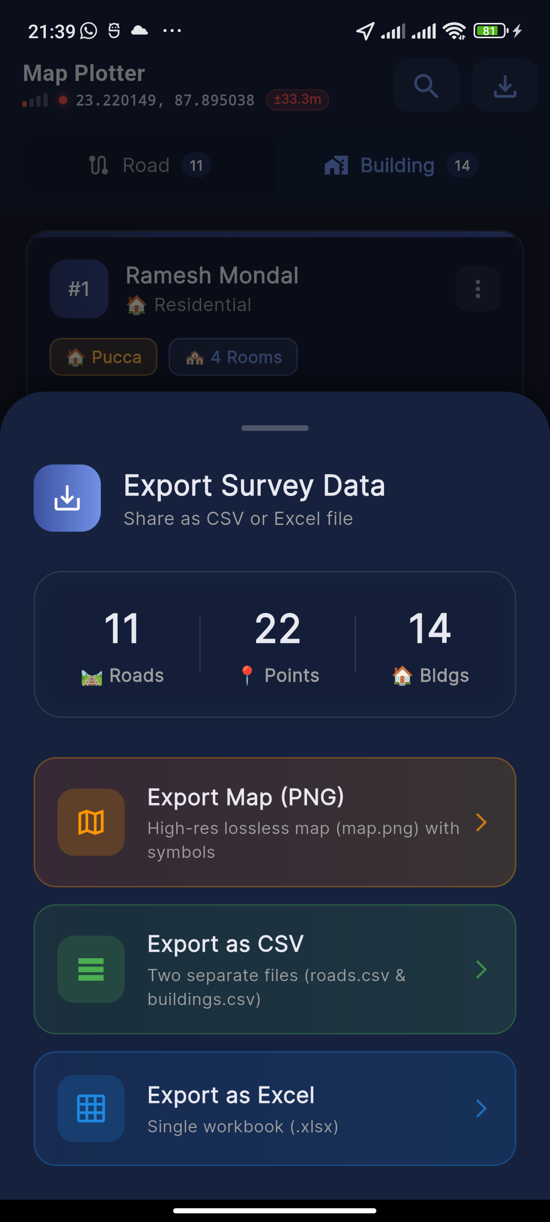
Generate high-resolution PNG cartographic map images, CSV tables, and Excel spreadsheets on-the-go.

Try Map Plotter's Cartographic Rendering Engine
Click any survey element below to test how Map Plotter automatically formats and renders standardized survey symbols, legend tags, scale, and north arrows.
Everything a Field Survey Requires
Designed from the ground up for field efficiency, data precision, and ease of operation under real-world conditions.
High-Precision GPS Capture
Live satellite coordinate tracking with continuous accuracy indicators in meters while walking roads or marking building boundaries.
Roads & Land Features Catalog
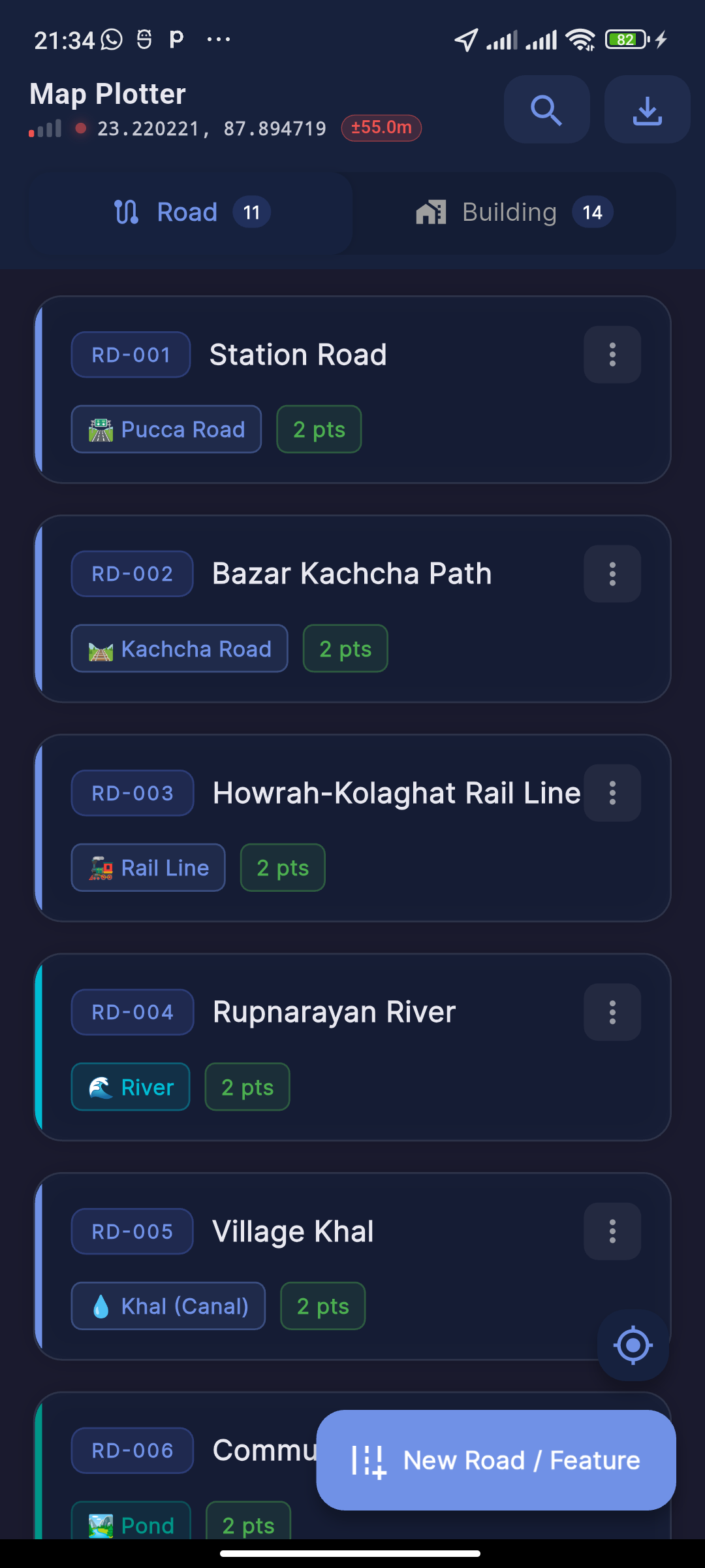
Classify Pucca & Kachcha roads, rail tracks, rivers, khals, ponds, farmland, bare land, graveyards, and cremation grounds with dedicated symbols.
Detailed Building Classification
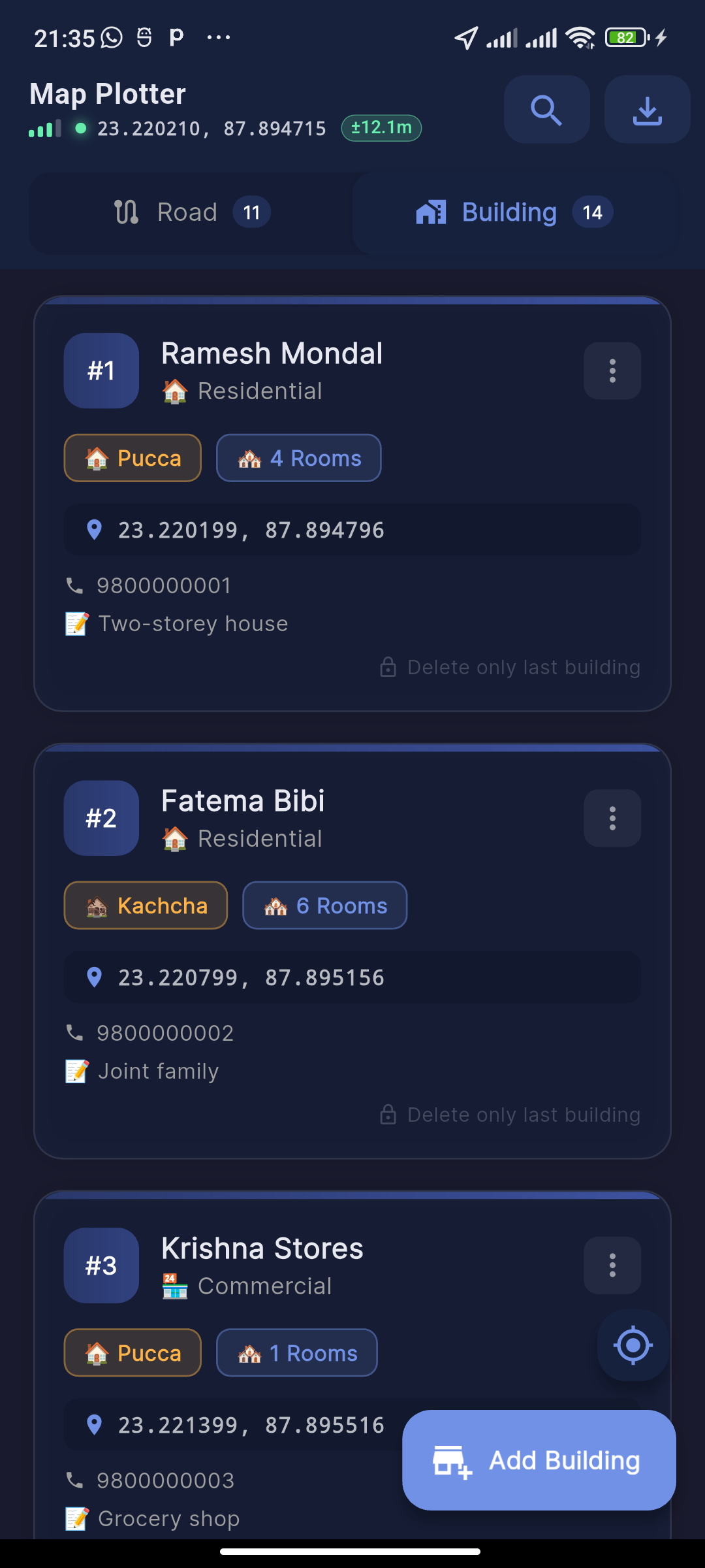
Log structure types, usage (residential, commercial, school, clinic, govt offices, places of worship), owner contact details, and remarks.
Cartographic Map PNG Export
Export high-resolution map.png images complete with standardized survey symbols, legend keys, road labels, and North directional arrow.
Clean CSV & Excel Workbooks
Export ready-to-open spreadsheet tables for roads and buildings, perfect for QGIS, ArcGIS, or Microsoft Excel analysis.
100% Offline Data Sovereignty
No user account, no login required, no hidden cloud sync. Everything stays safely stored inside your smartphone's SQLite database.
See Map Plotter in Action
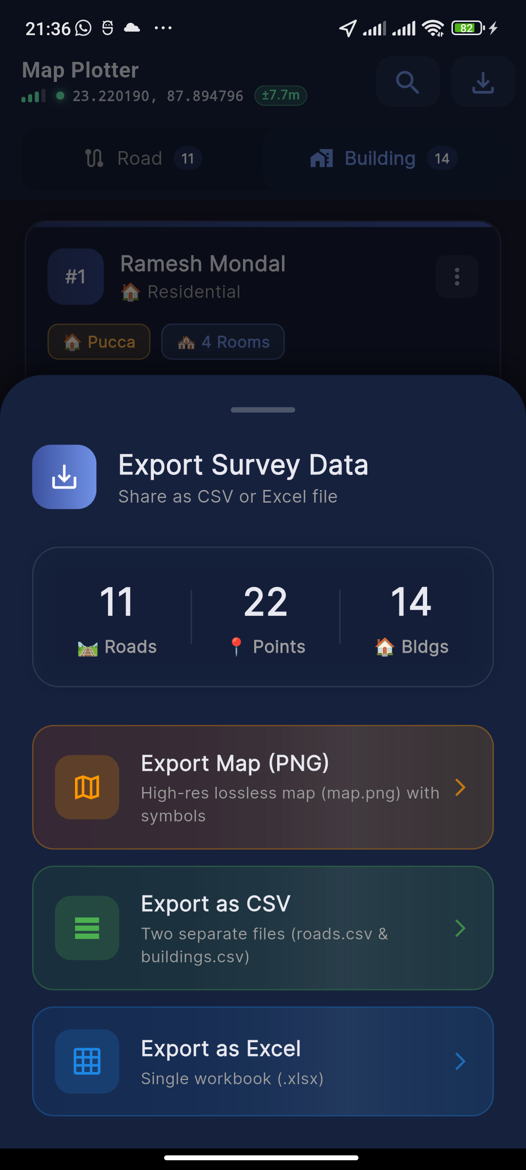
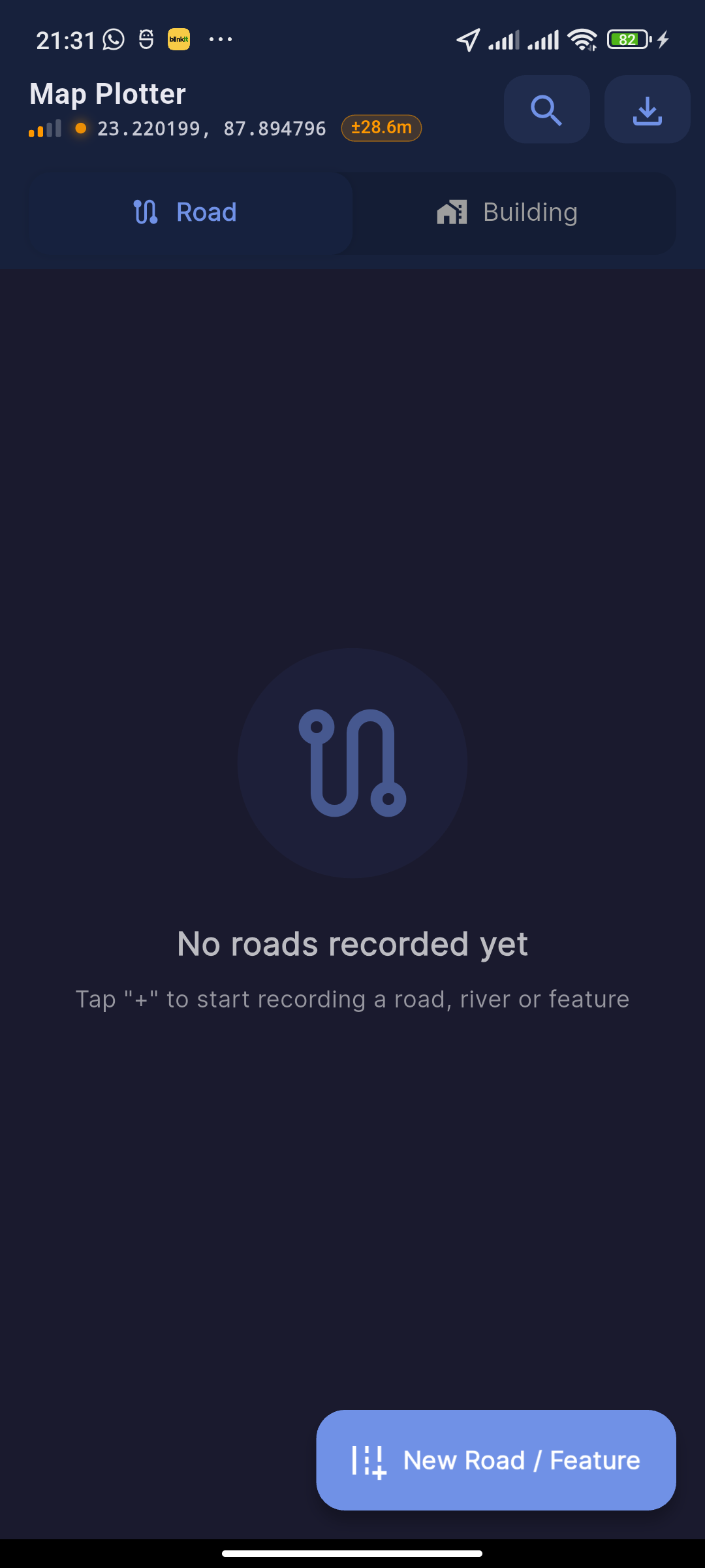
Explore the clean, intuitive mobile interface crafted for seamless field data collection.
Instant Export Formats for Every Workflow
Generate production-ready map graphics and structured tabular datasets directly from your phone.
Map Image (.PNG)
A cartographic image with solid/striped building marks, road labels along paths, faith icons, scale bar, legend, and North arrow.
CSV Data Files
Clean comma-separated tables for roads and buildings containing precise latitudes, longitudes, point counts, and structure details.
Excel Workbooks (.XLSX)
Pre-formatted Excel workbooks with separate sheets for Roads, Buildings, Land Features, and Owner Contact Directory.
Standardized Indian Cartographic Legend
Comprehensive key of all survey map symbols automatically applied by Map Plotter.
Pucca Residential
Solid blue square with house number inside
Pucca Non-Residential
Solid square with diagonal striped fill & code
Kachcha Residential
Solid orange triangle with structure ID
Kachcha Non-Residential
Solid triangle with striped fill & label
Pucca Road
Two solid parallel lines with road name
Kachcha Road
Two dashed parallel lines with road label
Railway Track
Single centerline with perpendicular cross-ties
River / Khal / Canal
Dual blue outline path with water fill
Places of Worship
Distinct roof/dome architecture & faith symbol
Got Questions? We Have Answers
Everything you need to know about Map Plotter and how it supports Make in India.
Map Plotter was indigenously created in India to eliminate reliance on expensive foreign GIS software. It caters specifically to Indian field survey requirements (Pucca/Kachcha roads, Khals, Gram Panchayat boundaries, and places of worship) while ensuring 100% data sovereignty — keeping sensitive land and infrastructure data strictly inside India on local user devices.
No. All survey data (GPS coordinates, road paths, building details, owner contact information) is stored locally on your Android device in a secure SQLite database. We operate zero servers for data collection, meaning your data never leaves your device unless you manually choose to export and share it.
Yes, 100% free! Every recording feature, building classification tool, and all export formats (PNG map, CSV, Excel) are completely free with no subscriptions or hidden charges. Small ad banners support the app development.
Yes! The exported CSV files contain standardized Latitude and Longitude columns along with attribute tags, making them instantly compatible with QGIS, ArcGIS, Google Earth Pro, and Microsoft Excel.
Map Plotter utilizes your smartphone's high-precision GNSS/GPS hardware (assisted by A-GPS network state) to deliver sub-meter to 3-meter accuracy indicators, complete with real-time feedback on satellite lock status.